SKY OF FREEDOM
(سماء الحرية)
Route Reconnaissance
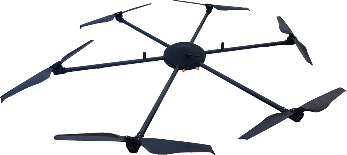
Route reconnaissance hexacopters and quadcopters are unmanned aerial vehicles (UAVs) equipped with cameras and sensors used for scouting, surveying, and gathering intelligence on terrain, infrastructure, or specific routes.
- Range (60km)
- PayLoad (10kg)
- Speed (DASH 24 M/S & CRUISE 16 M/S)

About Route Reconnaissance Aerial Mapping Drone
About :
Route reconnaissance hexacopters and quadcopters are unmanned aerial vehicles (UAVs) equipped with cameras and sensors used for scouting, surveying, and gathering intelligence on terrain, infrastructure, or specific routes.
Features Of Aerial Mapping Drone :
- Stealth reconnaissance and tactical offensive missions in hostile or border areas.
- Recovery and reuse potential is undamaged, ensuring cost-efficacy.
- Ideal for fast deployment in high-threat zones, augmenting the security apparatus against external aggressions
Use Case :
- Military Operations: They are used for reconnaissance and surveillance in military operations, providing real-time intelligence on enemy movements, terrain features, and potential threats.
- Search and Rescue: UAVs can be deployed in search and rescue missions to locate missing persons or survey disaster-affected areas, where traditional methods may be impractical or dangerous.
- Infrastructure Inspection: Hexacopters and quadcopters equipped with high-resolution cameras and sensors are used to inspect bridges, roads, pipelines, and other critical infrastructure for signs of damage or wear.
- Agriculture: UAVs are used in precision agriculture to monitor crop health, detect pests and diseases, and optimize irrigation and fertilizer application.
- Law Enforcement: Police departments utilize UAVs for aerial surveillance during crime investigations, crowd monitoring at public events, and search operations in remote or inaccessible areas.
Specifications Aerial Mapping drone :
- Obstacle Detection: Suitable for detecting obstacles or threats in the vicinity of military operations to enhance situational awareness.
- Close Aerial Observation: Primarily used for close-range military aerial observation and mapping in restricted military environments.
- Route Reconnaissance: Surveys potential military routes for ground forces, improving mission planning.
- Crisis Mapping: Rapidly assesses disaster-stricken areas for military disaster response coordination.
Benefits :
- Versatility: Both hexacopters and quadcopters can navigate various terrains, including urban areas, forests, and rugged landscapes.
- Maneuverability: Quadcopters, in particular, are known for their agility and ability to fly in tight spaces, making them suitable for reconnaissance in urban environments.
- Stability: Hexacopters offer increased stability, especially in windy conditions, which is beneficial for capturing clear and steady footage.
- Payload Capacity: Hexacopters typically have a higher payload capacity, allowing them to carry more advanced sensors and equipment.
- Cost-Effectiveness: Quadcopters are often more affordable than hexacopters, making them a cost-effective option for certain reconnaissance missions.


